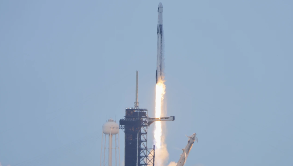
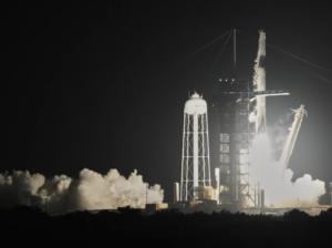
NASA and the Indian Space Research Organization (ISRO) have successfully launched a groundbreaking Earth-observing satellite designed to detect even the smallest changes in land and ice. The $1.3 billion mission aims to improve disaster response and environmental monitoring across the globe.
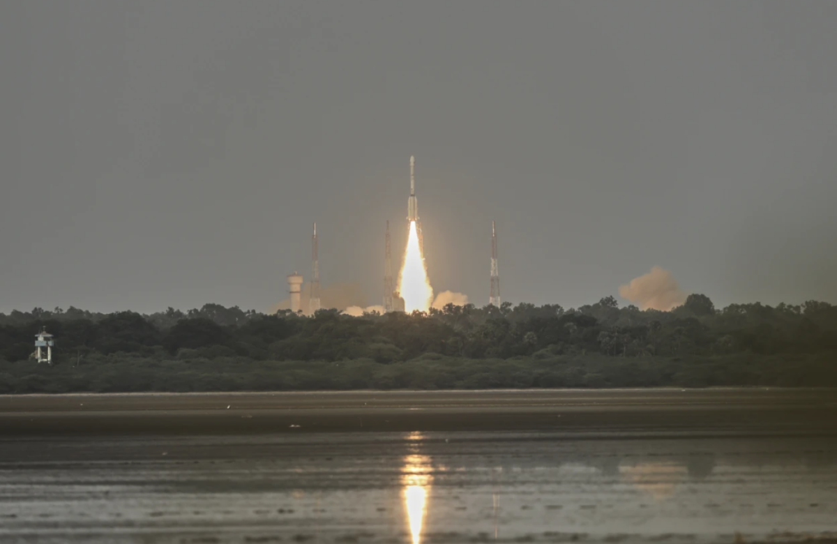
Launched from India on Wednesday, the satellite will scan nearly every inch of Earth’s surface multiple times. It’s equipped with two powerful radar systems — one built by NASA and the other by ISRO — that can operate around the clock, regardless of weather or cloud cover. These instruments will send microwave signals to Earth and capture the echoes, allowing scientists to detect changes in the planet’s surface as small as 1 centimeter.
The data will be gathered using a massive gold-plated wire mesh antenna, shaped like a drum and mounted at the end of a 30-foot boom. The satellite will pass over the same regions every 12 days, helping researchers track slow-moving geological and environmental changes.
India’s Science and Technology Minister, Jitendra Singh, celebrated the successful launch on social media, calling the mission a global benefit. NASA’s Casey Swails, who was part of a U.S. delegation present at the launch, emphasized the project as a symbol of deepening cooperation between the two nations and a model for future international partnerships.
It will take about a week to fully deploy the satellite’s 30-foot boom and its 39-foot-wide reflector. Scientists expect to begin collecting data by late October.
This radar satellite — named NISAR, short for NASA-ISRO Synthetic Aperture Radar — will focus on critical areas such as glacier melt, land movement related to earthquakes and landslides, groundwater levels, and ecological shifts that influence greenhouse gas emissions.
“This mission is a game-changer,” said Nicky Fox, NASA’s science mission chief, who attended the launch. “It will revolutionize our understanding of Earth and help improve predictions of natural disasters.”
NASA contributed $1.2 billion to the mission, providing the low-frequency radar and the reflector. ISRO, with a $91 million investment, built the main satellite structure, supplied the high-frequency radar, and carried out the launch from a coastal site in the Bay of Bengal. It’s the most ambitious space collaboration to date between India and the United States.
NISAR will orbit the Earth from a near-polar path at an altitude of 464 miles (747 kilometers), joining a growing fleet of satellites from both countries that monitor the planet’s dynamic systems.
Also Read:
India and NASA Launch Radar Satellite to Monitor Tiny Shifts in Earth’s Land and Ice
Astronomers observe planet formation around a young sun-like star beyond our solar system