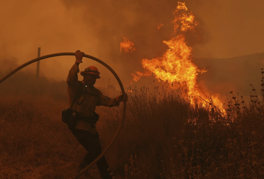
Severe storms brought at least one brief tornado, caused creeks to overflow, and triggered flash flooding in parts of West Virginia and Kentucky on Thursday. Meanwhile, a wintry mix coated trees and roads with ice, even leading to “thunder ice” in several states.
In areas of Indiana, southern Michigan, Ohio, and Pennsylvania, residents and storm spotters reported the rare occurrence of freezing rain combined with lightning, a phenomenon known as “thunder ice” due to the unstable air.

“You ever seen that?” asked Brian Heffner from Spencerville, Ohio, in a video posted on Facebook. “I’ve never seen lightning and heard thunder during an ice storm. It’s cool.”
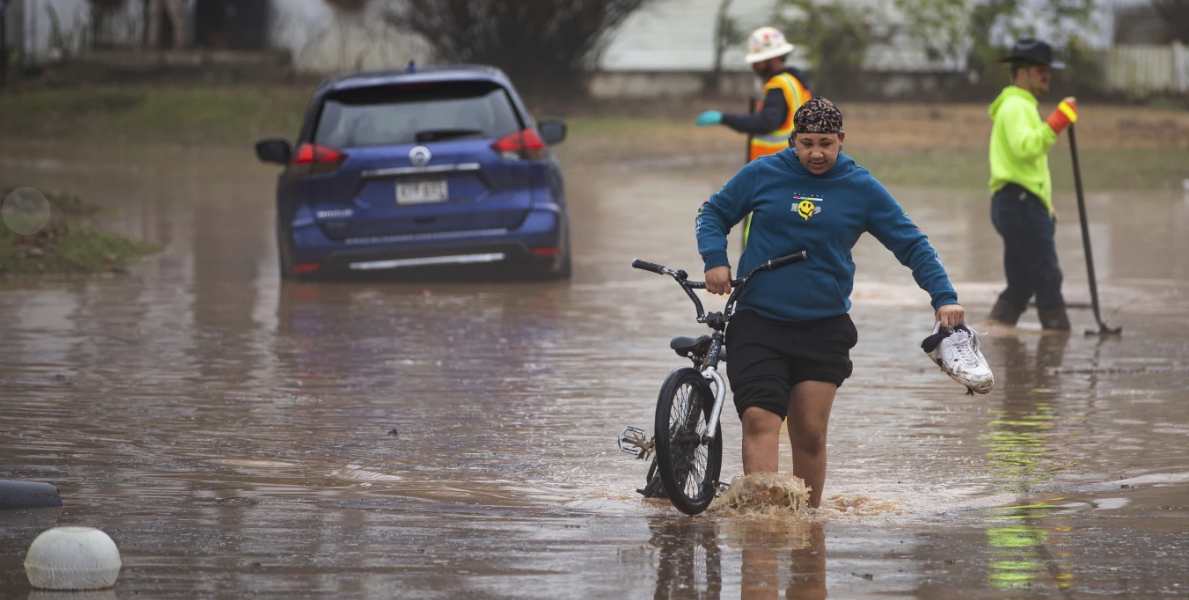
A prolonged line of thunderstorms kept people awake overnight, bringing heavy rains that flooded neighborhoods, triggered mudslides and rockslides, and caused accidents on waterlogged highways. Several school districts across the affected areas delayed or canceled classes on Thursday.
Authorities in West Virginia reported that multiple drivers had to be rescued after becoming stranded in floodwaters. The rescues extended beyond humans, as the Kanawha-Charleston Humane Association appealed to the community to adopt or foster 15 dogs after part of its shelter began to flood.

Heavy rainfall in Charleston led county officials to activate an emergency operations center. In Huntington, along the Ohio River, residents in certain areas were advised to stay indoors for several hours during the flooding, with the advisory lifted by Thursday afternoon. Flood warnings remained in effect across much of West Virginia, as well as parts of eastern Kentucky and southeastern Ohio, by Thursday evening.
In south-central Kentucky, the National Weather Service confirmed an EF1 tornado briefly touched down, with winds reaching up to 95 mph (150 kph). The tornado caused roof damage and scattered debris in Hart County, located about an hour south of Louisville. Fortunately, no injuries were reported.
Severe storms, possibly with tornadoes, swept through eastern Tennessee late Thursday. The Tennessee Highway Patrol reported on social media that troopers were in Morgan County, ensuring the safety of residents while assessing and assisting with structural damage.
The Morgan County School District announced that schools would be closed on Friday due to significant tornado damage in parts of the county.
In several mid-Atlantic states, a storm left roads and trees coated in ice before warmer temperatures arrived by midday Thursday. Fortunately, most areas avoided major power outages that can occur when ice accumulates on trees and power lines.
In New England, forecasts of several inches of snow led to closures and delays for many school systems. In Maine, over 200 schools and businesses were either closed or closed early. The Kennebunk area school district decided to fully close rather than risk hazardous conditions for afternoon school buses.
“Road conditions are expected to rapidly deteriorate once the snow starts, which could put students and staff at risk if we attempted an early release,” said district superintendent Terri Cooper.