Hurricane Erin began battering parts of the Caribbean with strong winds and heavy rain on Monday as it moves toward the Atlantic coast, where it’s expected to stir up dangerous surf and powerful rip currents in the coming days.
Evacuation orders were issued for parts of North Carolina’s Outer Banks, even though Erin is not forecast to make direct landfall. Authorities are warning that waves as high as 15 feet (4.6 meters) could flood roads and cause dangerous coastal conditions.

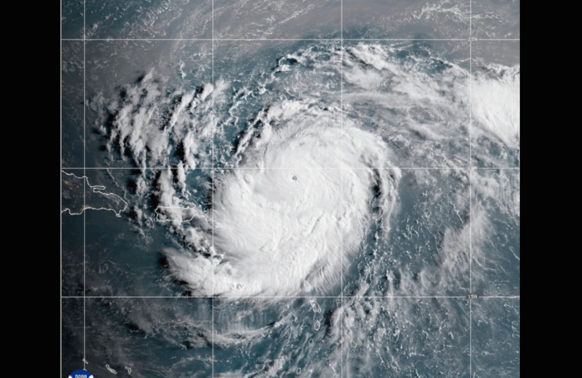
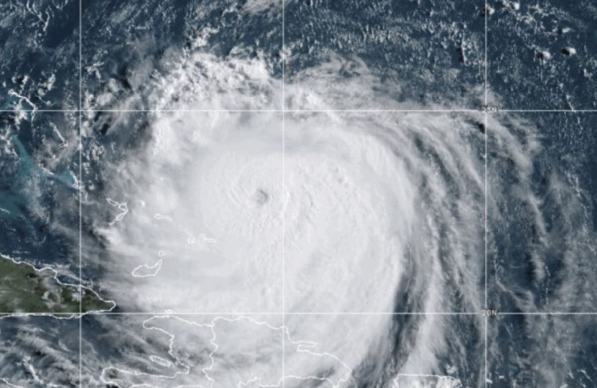
The hurricane intensified to a Category 4 early Monday, with maximum sustained winds reaching 140 mph (225 kph), and began impacting the Turks and Caicos Islands and the southeastern Bahamas, according to the National Hurricane Center.
Meteorologists expect the storm to veer northeast and away from the U.S. mainland. Still, residents along the East Coast—particularly in North Carolina—may experience tropical-storm-force winds, elevated tides, and hazardous ocean conditions. Dave Roberts from the National Hurricane Center emphasized the risk of rough seas and beach hazards.
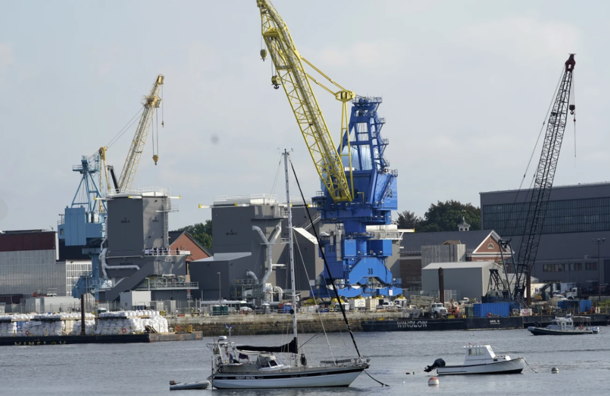
On Monday, mandatory evacuations were initiated on Hatteras Island and Ocracoke Island in the Outer Banks. These barrier islands, popular tourist spots, are vulnerable due to their low elevation and exposure to the Atlantic.

Coastal flooding is expected to begin Tuesday and could last through Thursday. The National Weather Service warned that prolonged exposure to high waves and strong winds could damage parts of the highway that connects the barrier islands, potentially rendering some roads unusable for days.
Despite the warnings, some residents remained calm. Angela Tawes, who co-owns Conner’s Supermarket on Hatteras Island, remarked, “It’s so beautiful outside. It’s hard for people to feel like there’s a hurricane coming when it’s so gorgeous.”
Erin is the first Atlantic hurricane of the year and briefly reached Category 5 status on Saturday with winds of 160 mph (260 kph) before slightly weakening. Forecasters expect it to remain a major hurricane through midweek, though intensity could fluctuate.
As of Monday morning, Erin was located about 110 miles (180 kilometers) north of Grand Turk Island and around 880 miles (1,400 kilometers) south-southeast of Cape Hatteras, North Carolina.
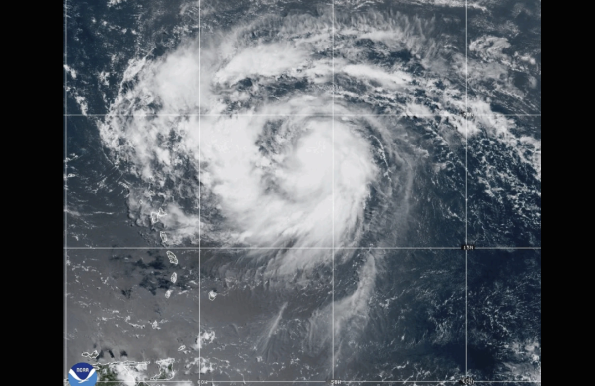
Tropical storm warnings are currently in effect for the southeast Bahamas and Turks and Caicos Islands. Over the weekend, Erin’s outer bands brought strong winds and rain to Puerto Rico and the Virgin Islands.
Experts have noted that hurricanes like Erin are intensifying more rapidly due to climate change. Warmer ocean temperatures and increased moisture in the atmosphere provide storms with the energy to grow stronger and deliver more rainfall in a shorter time.
Also Read:
Hurricane Erin Downgrades to Category 3 as Meteorologists Monitor Expected Northward Shift
Hurricane Erin Approaches, Bringing Heavy Rain to Puerto Rico and the Virgin Islands