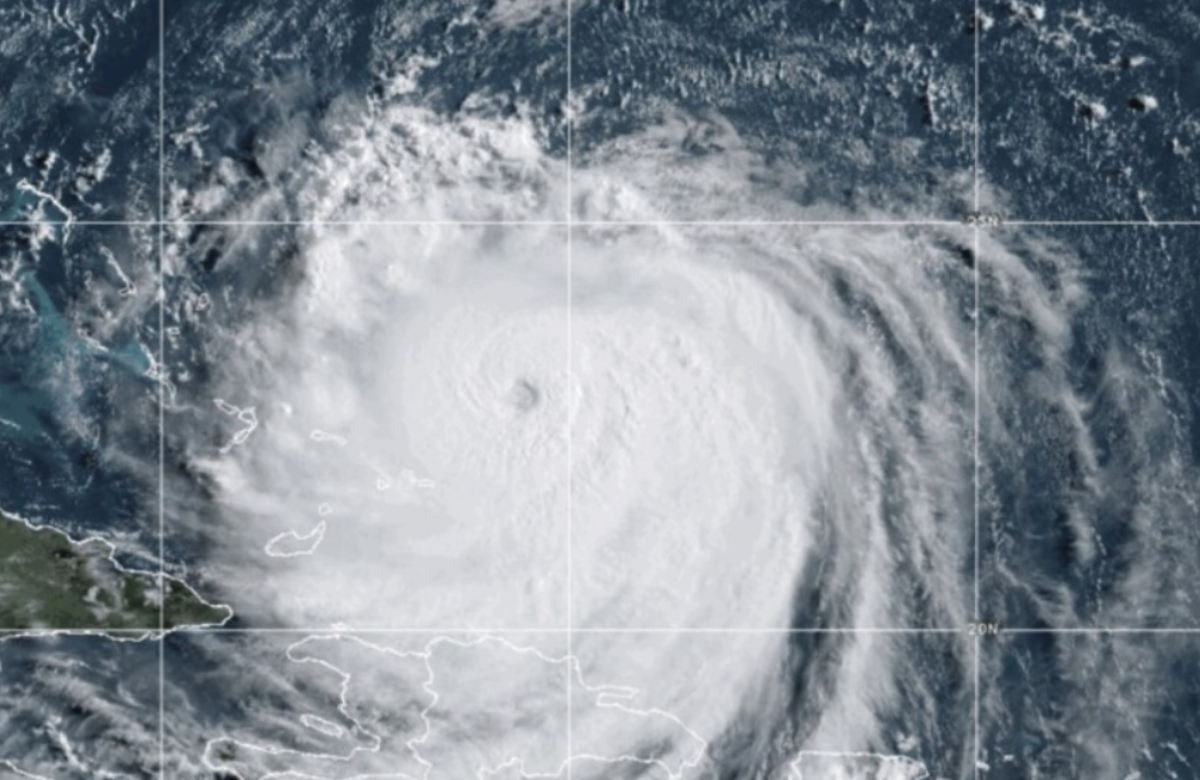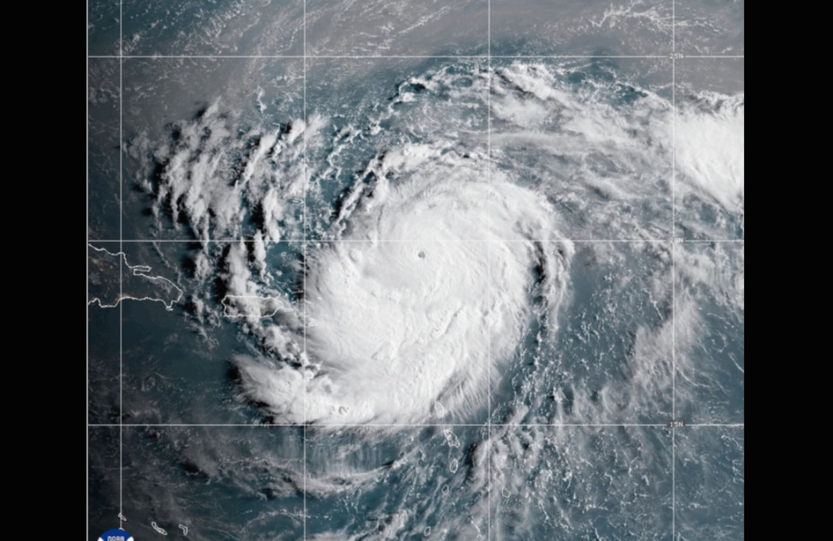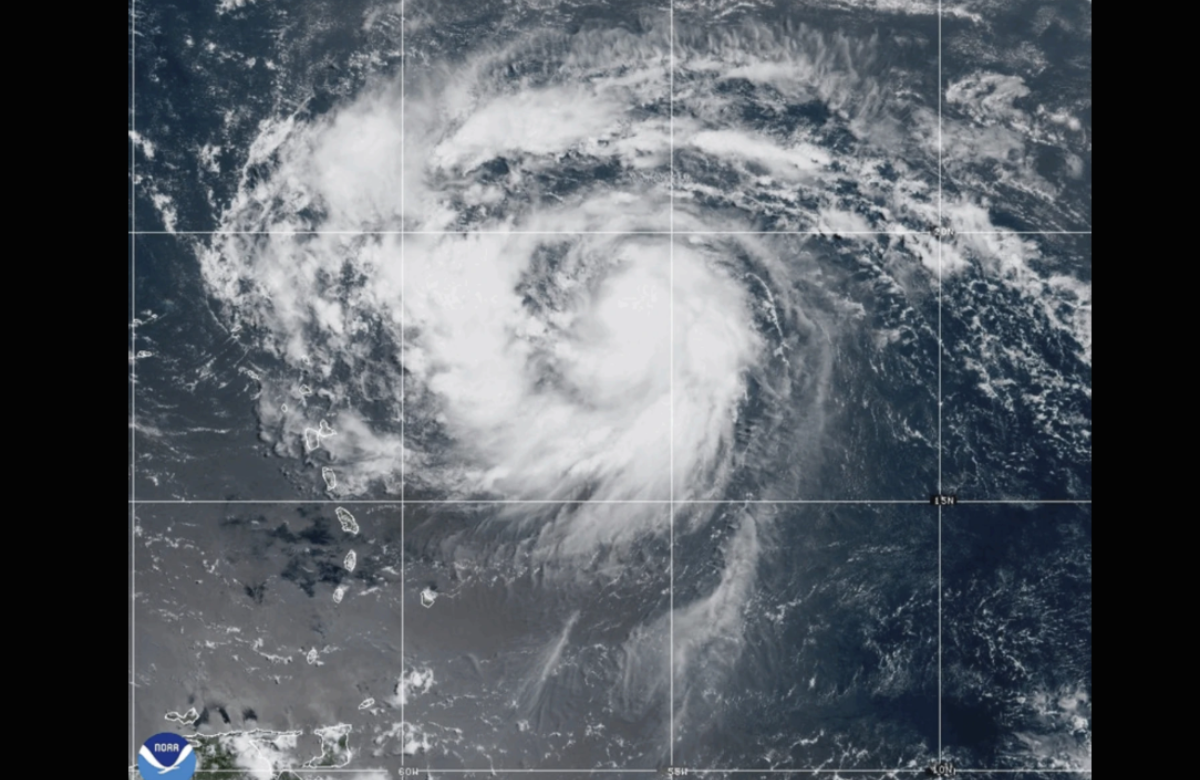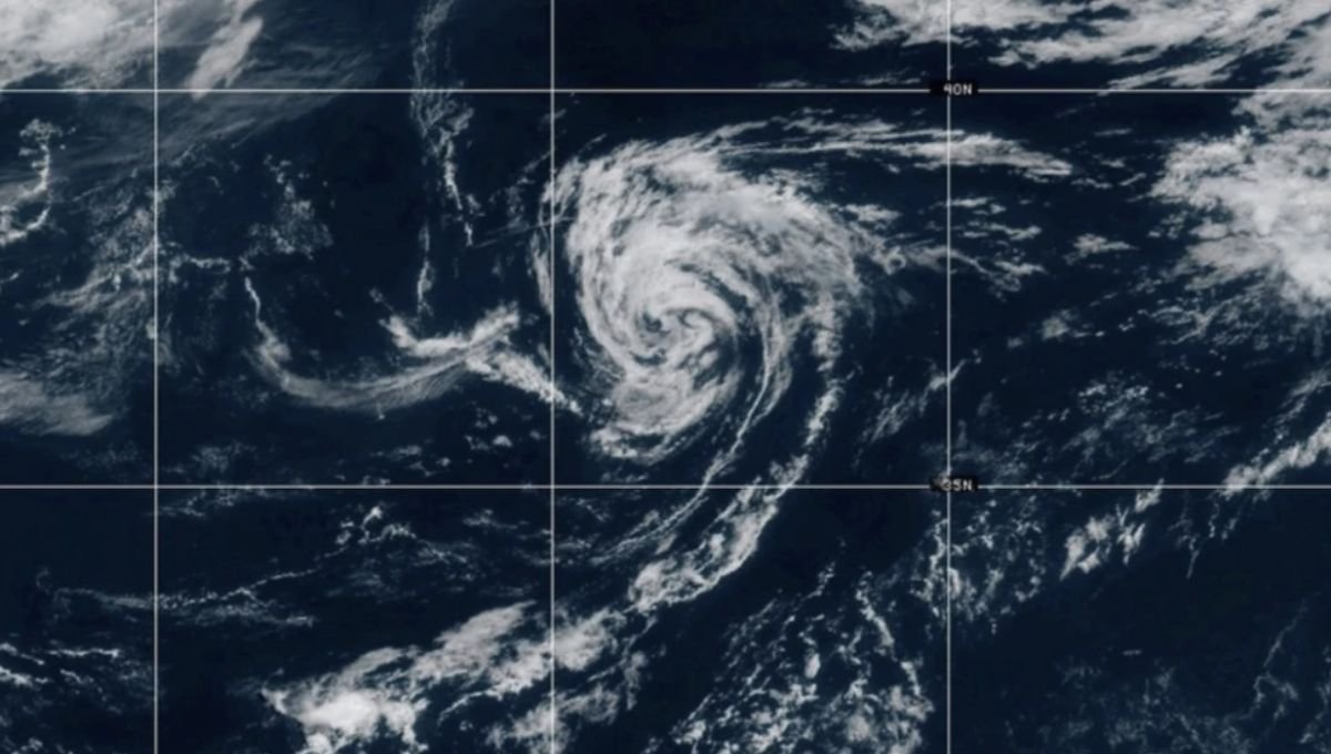
Tropical Storm Andrea, the first named system of this year’s Atlantic hurricane season, has formed, according to the National Hurricane Center.
As of Tuesday, Andrea was situated approximately 1,205 miles (1,940 kilometers) west of the Azores Islands. The storm had sustained winds of 40 mph (65 kph) and was moving east-northeast at around 17 mph (28 kph).

Forecasters expect Andrea to be short-lived. It is predicted to weaken by Tuesday night and dissipate completely by Wednesday evening.
No coastal warnings or watches have been issued, and officials reported no immediate threats to land. The storm is forecast to continue its path east-northeast before breaking apart.
This development comes as meteorologists warn of another above-average hurricane season, fueled in part by unusually warm ocean temperatures. Although not expected to be as intense as 2024 — which ranked as the third-costliest season due to destructive storms like Beryl, Helene, and Milton — the season is still anticipated to be very active.

The National Oceanic and Atmospheric Administration (NOAA) predicts between 13 and 19 named storms this season. Of those, six to ten could develop into hurricanes, and three to five may reach major hurricane strength, with wind speeds exceeding 110 mph (177 kph).
Meanwhile, the Pacific basin has already experienced several named storms in 2025, including Hurricane Erick, which impacted parts of southern Mexico.
Also Read: